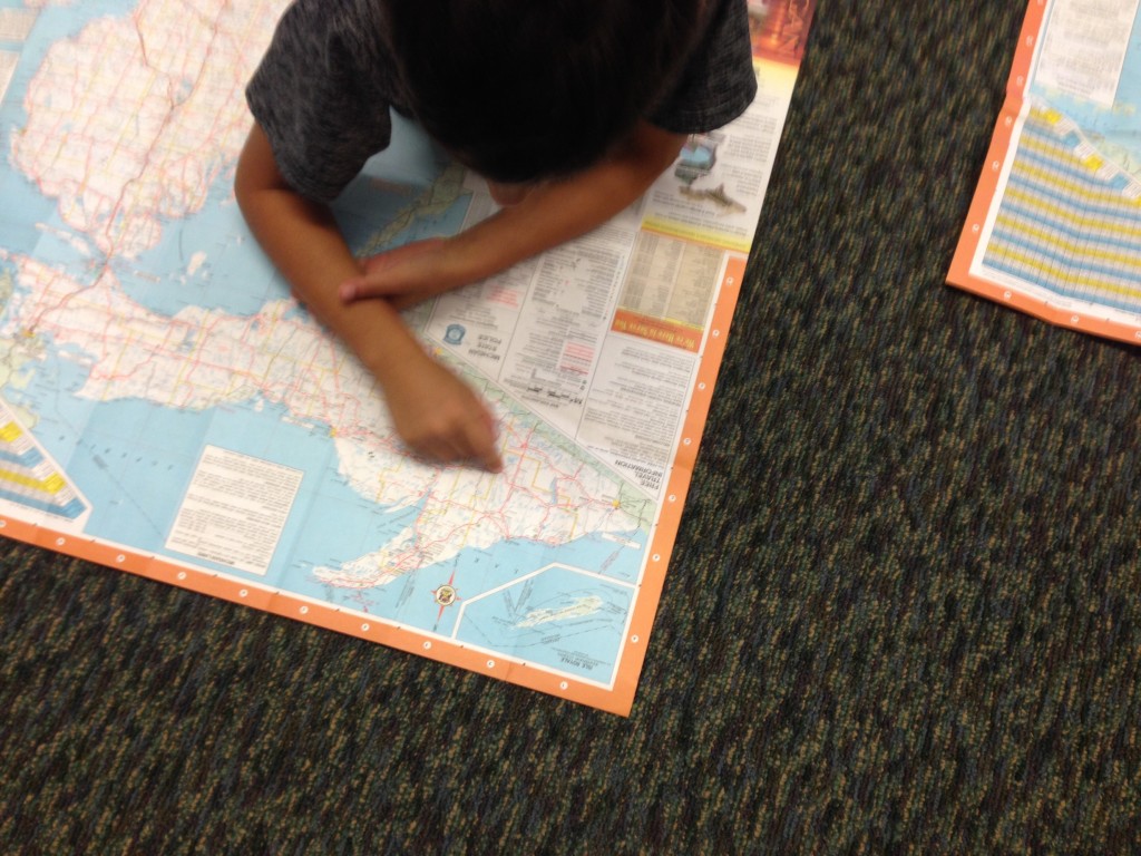
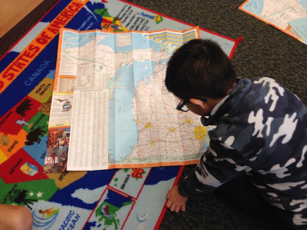
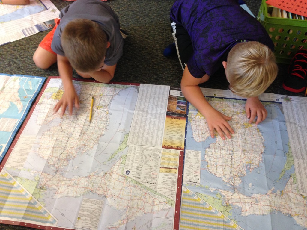
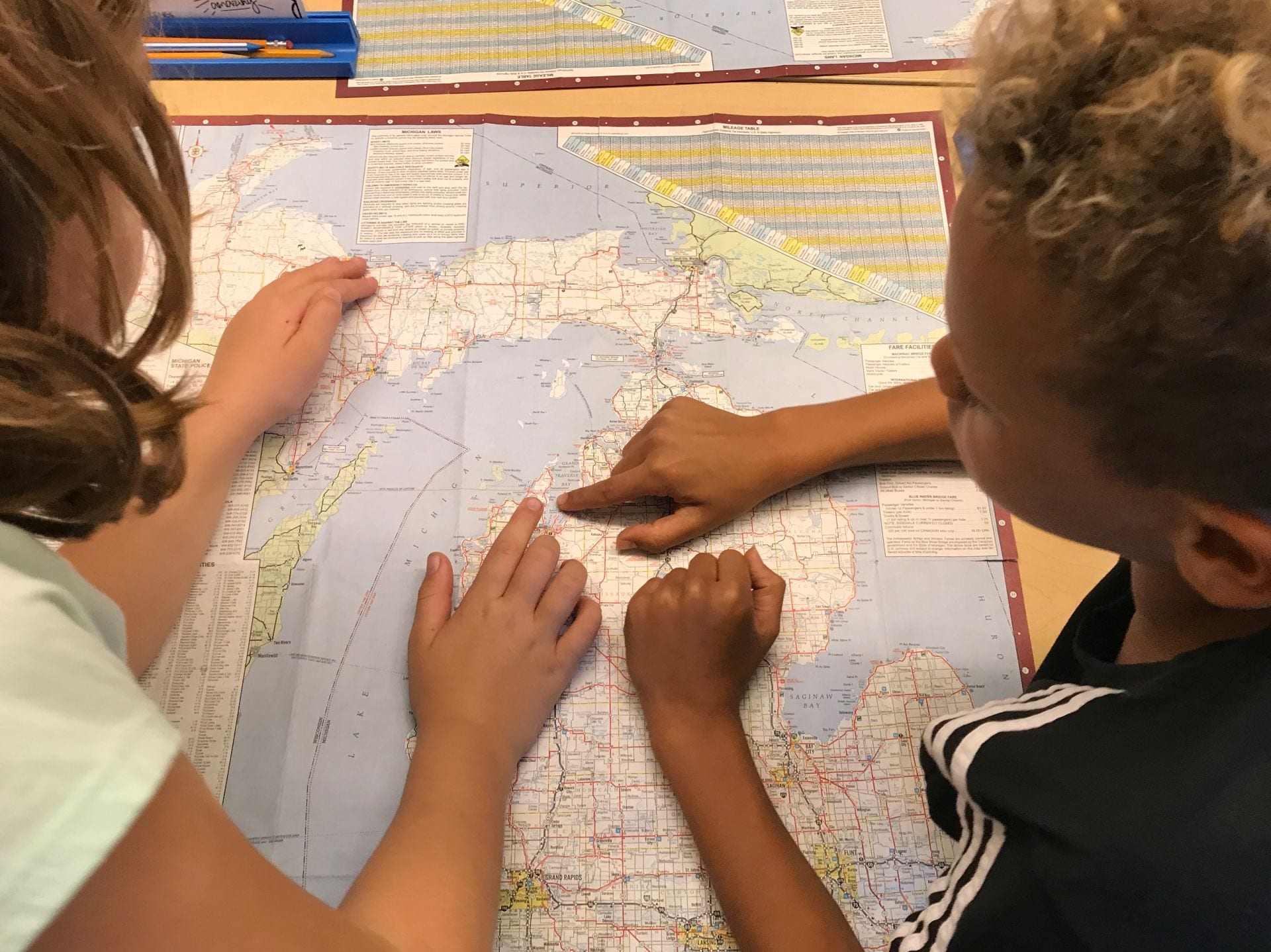
In third grade we study Michigan. We have started our Geography unit and have been learning about relative and absolute location and natural and human characteristics. We have also started to learn about the landforms and bodies of water in Michigan.
Today we got out the maps to identify these places:
LANDFORMS in Michigan:
– Peninsulas: Upper and Lower Peninsula
– Islands: Mackinac Island, Beaver Island, Isle Royale
– Mountains: Porcupine Mountains, Huron Mountains
– Sand Dunes: Sleeping Bear Dunes
BODIES OF WATER in Michigan:
– Great lakes: Lake Huron, Lake Ontario, Lake Michigan, Lake Erie, Lake Superior
– Rivers: the Grand River
– Waterfalls: Tahquamenon Falls
– Bays: Grand Traverse Bay, Saginaw Bay
We had fun looking at the Map of Michigan:
![]()